We make parcel data accessible for everyone
For projects large and small, we offer the best prices anywhere for authoritative land parcel records.
Are you a non-profit or an academic researcher?
Contact Us for special pricing.

Straight from the Source
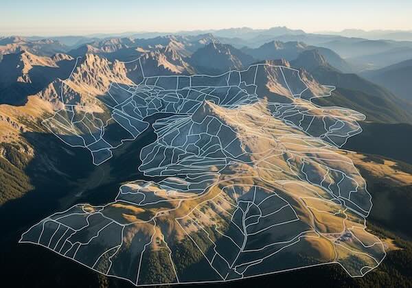
Our authoritative parcel dataset covers 99% of the United States and includes a rich set of land, building, and ownership attributes.


Instant Downloads
Professional Dataset Management
Easily manage your licensed Land Records datasets and access updates from your account dashboard.
Instantly download your dataset purchases in the following formats: Shapefile, Geojson, Geopackage, and Apache Parquet.

Shop by State or County
Just click on the map below to find the parcel data that you need.
How do we stack up?
| ReportAll | Regrid | ||
|---|---|---|---|
| Parcel Identifiers | Yes | Yes | Yes |
| Validated Addresses | Yes | Yes | Yes |
| Validated Geometries | Yes | Yes | Yes |
| Ownership Information | Yes | Yes | Yes |
| Schema Standard | Public | Public | Public |
| # of Fields | 50+ | ~75 | ~100 |
| Update Frequency | Quarterly | Unknown | Semi-Annualy |
| US Coverage | 99% | 99% | 99.9% |
| County Pricing | $50 - $250 | $200-400 | $600-800 |
| State Pricing | $500 - $1,500 | $900 - $9,000 | $6000-$8000 |
| Nationwide Pricing | Contact Us | Unknown | $90,000/yr+ |