
Battery Storage
Nationwide parcel data for battery storage
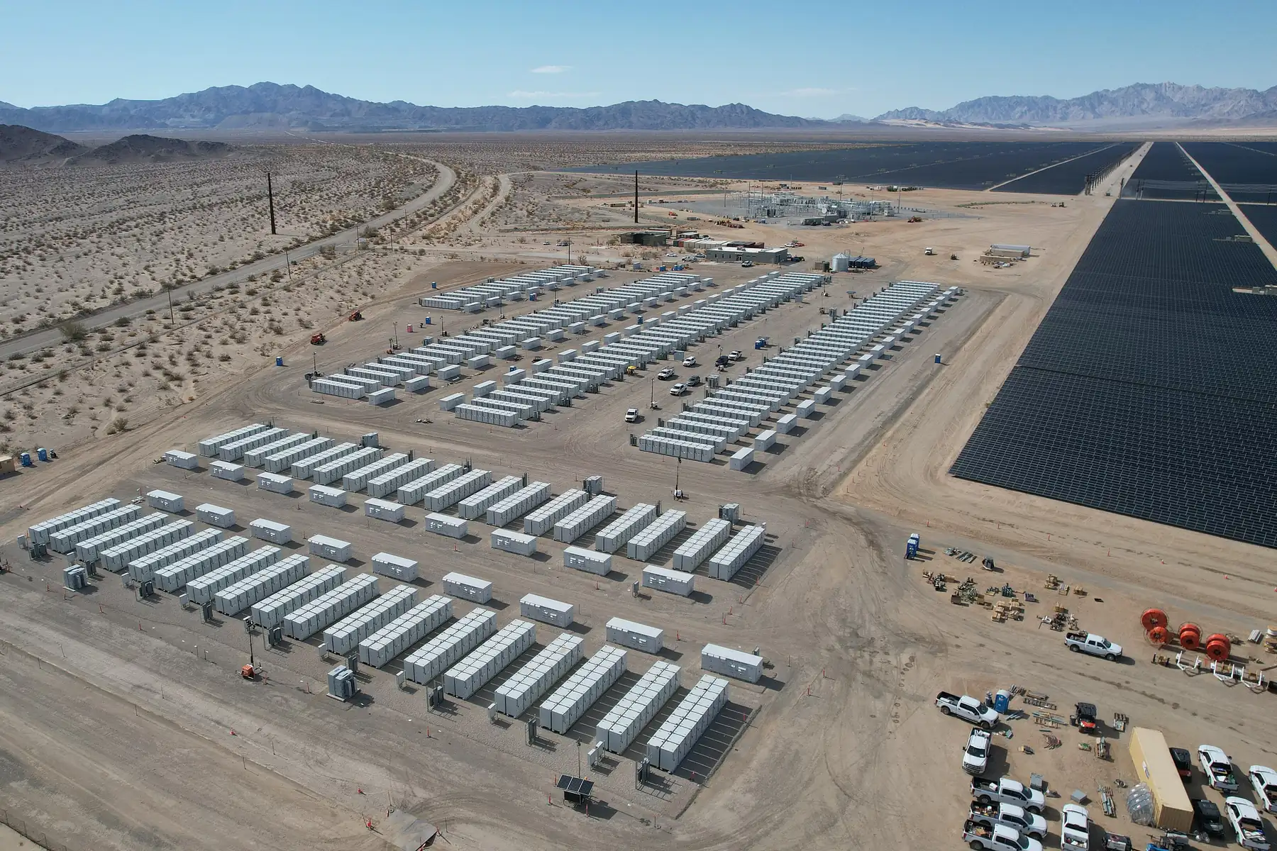
Storage is a race for the right parcels near the right infrastructure. Land Records gives developers nationwide boundaries, acreage, and ownership to spot sites near substations and interconnection — and secure them first.
- Parcels nationwide
- 161M+
- Counties covered
- 3,230
- US coverage
- 99%+
- Web service refresh
- Bi-weekly
Lock up interconnection-adjacent land, fast
The best storage sites go quickly. A standardized nationwide parcel layer lets you find and control them before the competition.
Screen near infrastructure
Find right-sized parcels close to your target interconnection.
Move on the parcel
Ownership and adjacency to act quickly on options and leases.
One layer, every market
Run the same workflow in every region you are chasing.
Built for storage development
Site screening
Screen for parcels that meet acreage, geometry, and location criteria.
Interconnection proximity
Focus on parcels near substations and points of interconnection.
Land control
Pull ownership and adjacency for options and leases.
Gen-tie planning
Map parcels between the site and the point of interconnection.
Site comparison
Compare acreage and geometry across candidates in one view.
Multi-region pipelines
Chase queue positions across markets with one dataset.
Nationwide coverage, standardized and current
The authoritative parcel grid behind landrecords.us — the fast path from a target region to controlled land.
- Critical attributes, standardized
- Boundaries, parcel IDs, acreage, ownership, and land use — normalized across counties and states.
- Coverage kept current
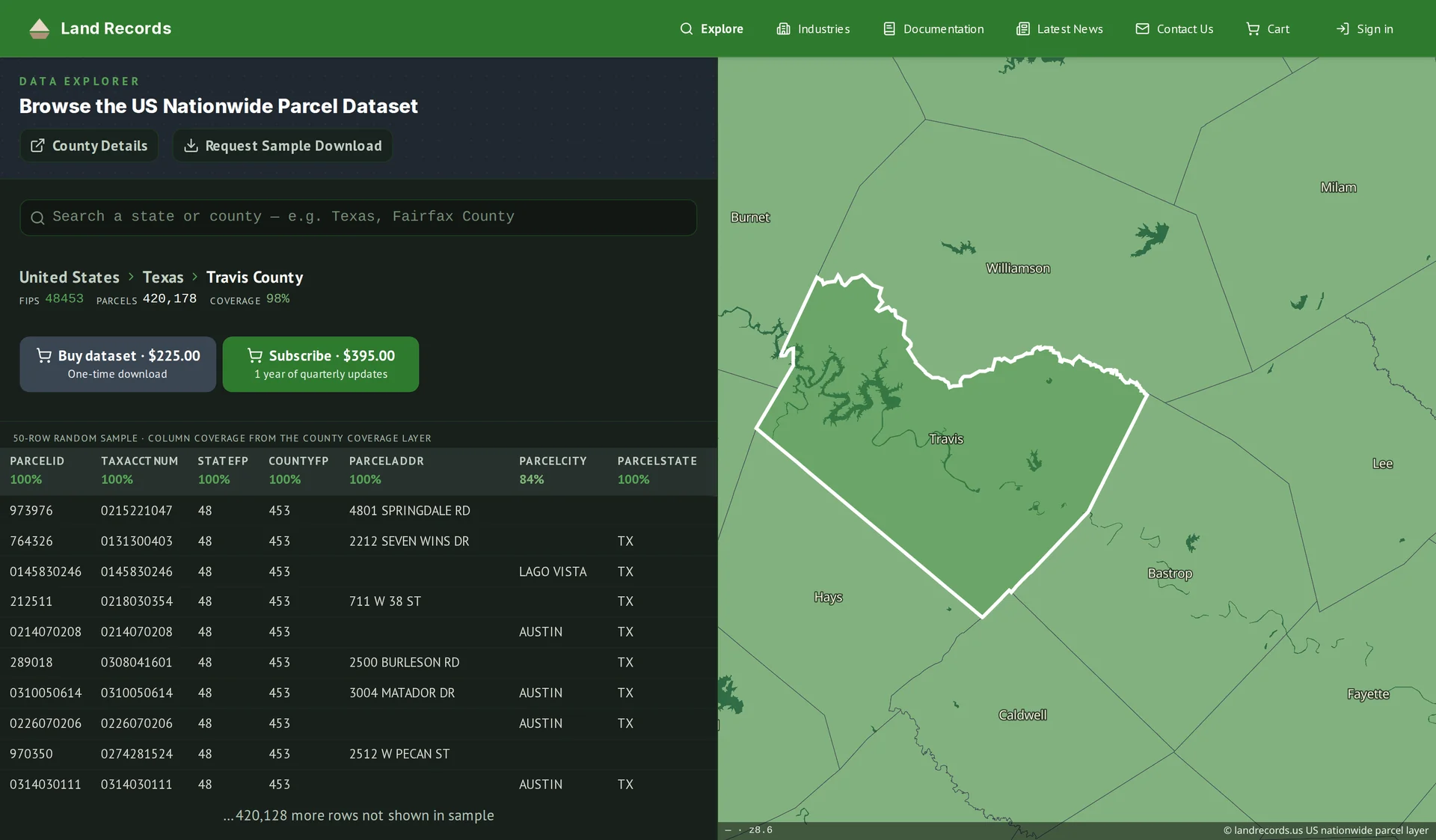
- 161M+ parcels across 3,230 counties — refreshed every two weeks in the web service, and released quarterly as bulk downloads — so your decisions rest on fresh data.
- Delivery that fits your stack
- Bulk downloads, or a standards-compliant WMS / vector-tile / feature service you can wire straight into GIS.
Common questions
Can I find parcels near a substation?
Screen an area for right-sized parcels and evaluate their proximity to infrastructure and interconnection.
How do I secure land quickly?
Every parcel carries ownership and adjacency, so you can move on options and leases fast.
Do you cover the whole country?
161M+ parcels across roughly 3,230 counties — 99%+ of the U.S. by parcel count — refreshed every two weeks in the web service and quarterly for bulk downloads.
How do I integrate the data with our systems?
Use bulk file downloads for your data warehouse, or the managed web service (WMS, vector tiles, and feature service) to stream parcels into your GIS and apps.
How current is the data?
The web service (API) is refreshed every two weeks. Bulk downloads are quarterly releases, and an annual license includes a year of those quarterly updates.
Accelerate site control
Chasing queue positions across regions? We’ll help you find and secure land with nationwide parcel data.