
Energy Development
Nationwide parcel data for energy development
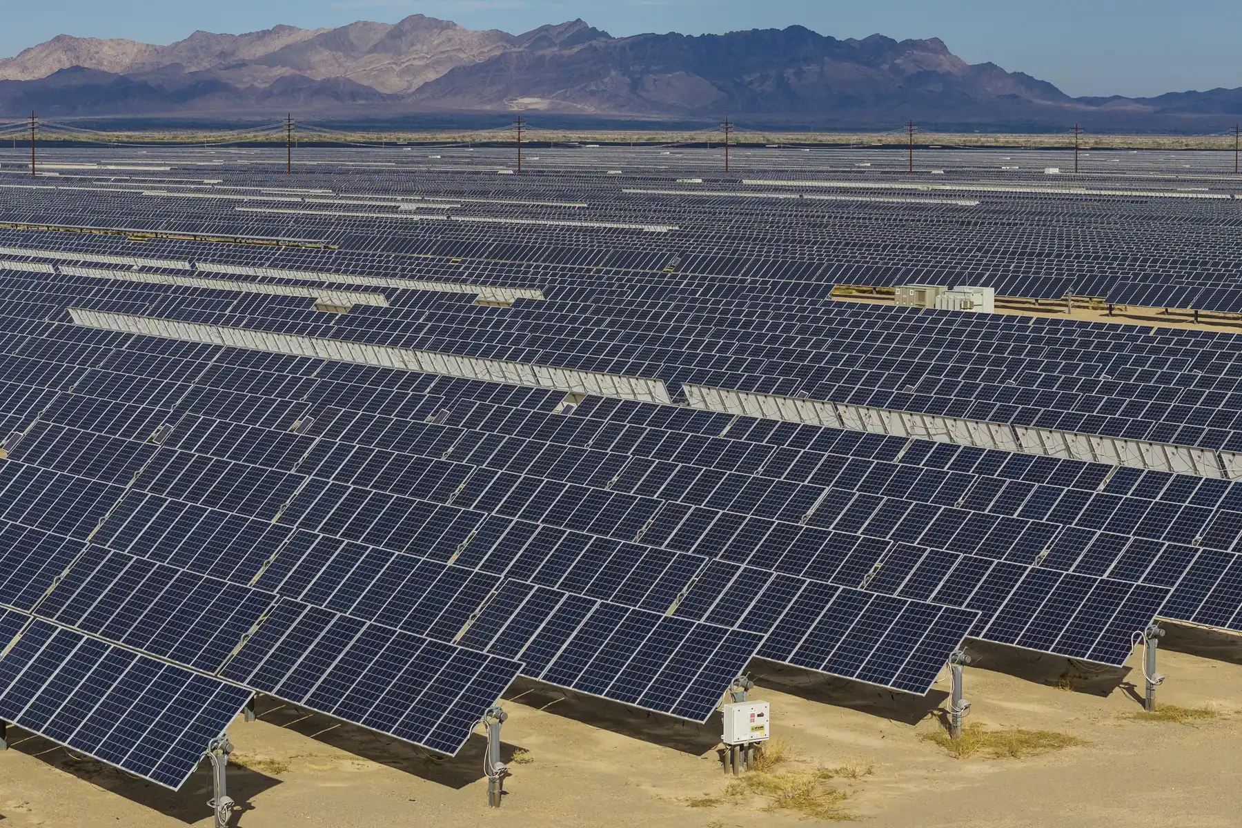
Land decisions sit behind every solar farm, wind project, and transmission line. Land Records gives energy teams the parcel boundaries, ownership, and acreage to screen sites, plan routes, and secure land — across every U.S. county.
- Parcels nationwide
- 161M+
- Counties covered
- 3,230
- US coverage
- 99%+
- Web service refresh
- Bi-weekly
Land decisions sit behind every energy project
Inconsistent, county-by-county records slow siting and land acquisition to a crawl. One standardized nationwide parcel layer keeps your whole team moving.
Screen sites with real context
Evaluate candidate sites with authoritative boundaries, acreage, ownership, and land use — before anyone drives out.
Connect assets to the land
Tie generation, storage, and lines to the parcels and owners around them for interconnection and outreach.
Align maps, apps, and the field
A single parcel layer feeds your GIS, analytics, and field tools — so everyone works from the same ground truth.
Built for how energy teams work with land
Renewable site screening
Find parcels that meet your acreage, geometry, and location criteria for solar and wind feasibility.
Transmission & distribution
Map parcels along a corridor to plan gen-tie and transmission routing with fewer surprises.
Right-of-way & acquisition
Identify owners and adjacent parcels to support easements, options, and leases.
Storage siting
Spot interconnection-adjacent parcels of the right size and move quickly to secure them.
Field planning & site visits
Give field crews accurate boundaries and parcel context before they mobilize.
Energy maps & analytics
Enrich your own maps and models with a nationwide parcel foundation.
Nationwide coverage, standardized and current
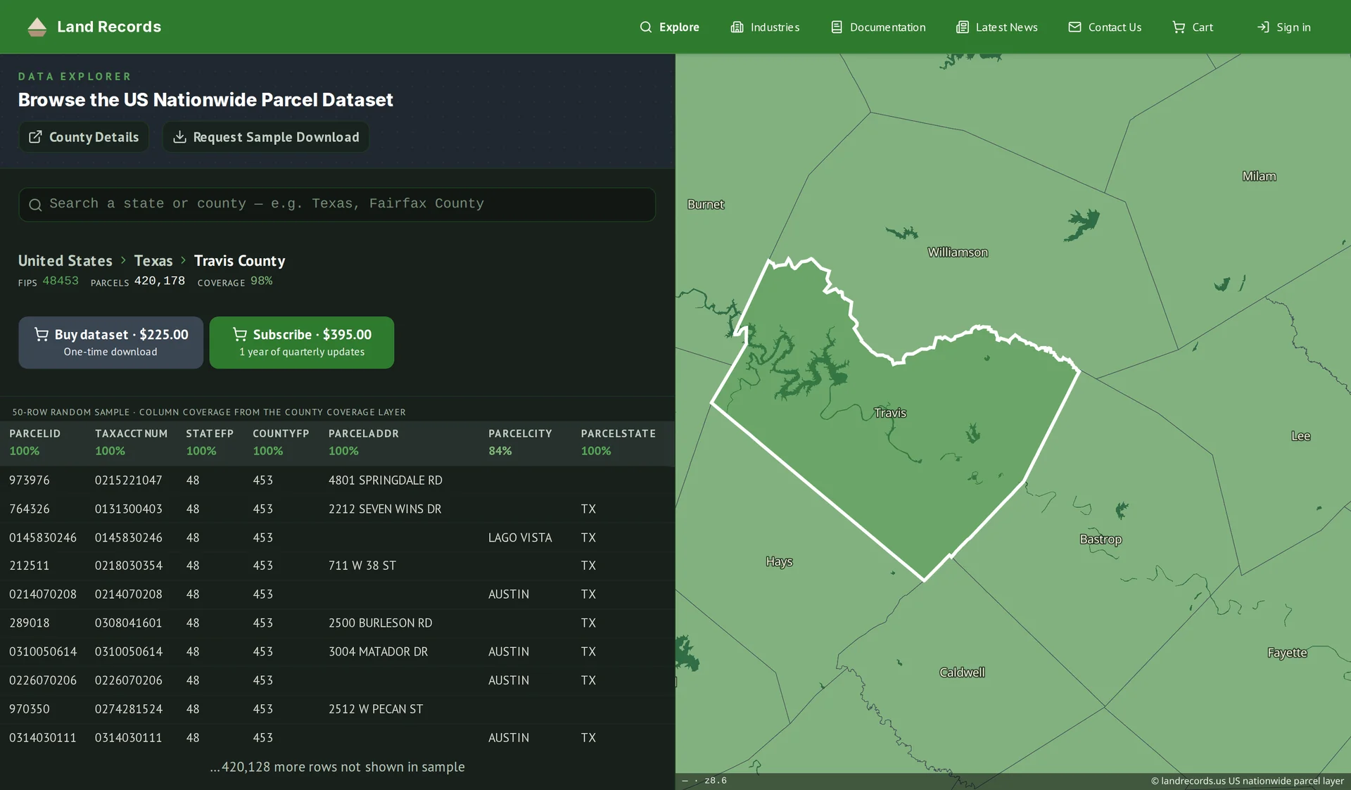
The same authoritative parcel grid behind landrecords.us — delivered in the formats your energy data stack already speaks.
- Critical attributes, standardized
- Boundaries, parcel IDs, legal acreage, ownership, land use, and address — normalized across counties and states.
- Coverage kept current
- 161M+ parcels across 3,230 counties — refreshed every two weeks in the web service, and released quarterly as bulk downloads — so your decisions rest on fresh data.
- Delivery that fits your stack
- Bulk downloads, or a standards-compliant WMS / vector-tile / feature service you can wire straight into GIS.
Common questions
What does "nationwide coverage" actually mean?
We cover 161M+ parcels across roughly 3,230 U.S. counties — 99%+ of the country by parcel count — as a single standardized layer, refreshed every two weeks in the web service and quarterly for bulk downloads.
Can you help with renewable site selection?
Yes. Screen regions for parcels that meet your acreage, geometry, and location criteria, then pull ownership and adjacency to move on the best candidates.
Does this support right-of-way and transmission planning?
Map every parcel along a corridor and identify its owner, so you can plan routing and land acquisition with the full picture.
How do I integrate the data with our systems?
Use bulk file downloads for your data warehouse, or the managed web service (WMS, vector tiles, and feature service) to stream parcels into your GIS and apps.
How current is the data?
The web service (API) is refreshed every two weeks. Bulk downloads are quarterly releases, and an annual license includes a year of those quarterly updates.
Talk to an energy parcel data expert
Tell us about your projects and markets — we’ll help you put nationwide parcel data at the center of your siting and land workflows.